Geospatial Technologies Talent Consortium
About the Geospatial Technologies Talent Consortium
The Geospatial Technologies Talent Consortium (GTTC) is missioned to create high-pay, high-demand, and high-mobility (3H) geospatial technologies career opportunities for students. The GTTC program culminates in a geographic information system (GIS) capstone paid summer student internship, where students accomplish GIS work in local companies and organizations.
GTTC Student Internship Showcase (2020-2026)
Students arrive at their internships with 9 college credits in GIS through Eastern Michigan University, their own ESRI licenses, and experience with ArcGIS.

University Courses
Student Internships
GIS Pathways Program Introduction
GIS Pathways: Insights from GIS Interns
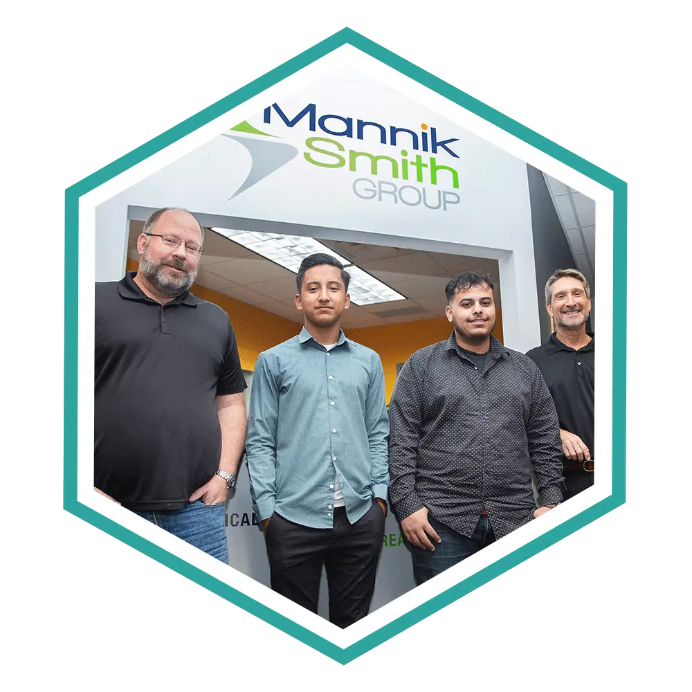
Israel Hernandez-Murillo
GIS Intern at Mannik & Smith Group, Henry Ford Academy
Bryce Kilburn, Molly Oliver, and Mira Bracey
Senior Students, Henry Ford Academy
Mike Cousins
Practice Leader GIS, OHM Advisors
Ray Lillibridge
Senior Technical Leader, OHM Advisors
What is GIS?
A geographic information system (GIS) is a computer system for capturing, storing, checking, and displaying data related to positions on Earth’s surface. By relating seemingly unrelated data, GIS can help individuals and organizations better understand spatial patterns and relationships.
GIS technology is a crucial part of spatial data infrastructure, which the White House defines as “the technology, policies, standards, human resources, and related activities necessary to acquire, process, distribute, use, maintain, and preserve spatial data.”
GIS can use any information that includes location. The location can be expressed in many different ways, such as latitude and longitude, address, or ZIP code.
Many different types of information can be compared and contrasted using GIS. The system can include data about people, such as population, income, or education level. It can include information about the landscape, such as the location of streams, different kinds of vegetation, and different kinds of soil. It can include information about the sites of factories, farms, and schools, or storm drains, roads, and electric power lines.
With GIS technology, people can compare the locations of different things in order to discover how they relate to each other. For example, using GIS, a single map could include sites that produce pollution, such as factories, and sites that are sensitive to pollution, such as wetlands and rivers. Such a map would help people determine where water supplies are most at risk.
What Our Industry Partners Are Saying...
I just wanted to write to let you know this has been a great experience for me personally and the Information Systems Department here at the City of Livonia. I hope you keep this program going for future GIS students.
Paulina Appel
Computer Administrator II
The interns have been great! I am hoping our students have had a good experience and learned a few things. They have done a great job and we were wondering if there is a way to extend the internship…. We have a lot more data to get through and will be interested in doing this again next summer also.
Bryan Agosti
GIS Coordinator

Internship Projects
The GTTC, stakeholder partners, schools and employers collaborate to create successful student high-tech internships. From 2021 to 2025, sixty-four student interns in southeast Michigan completed paid GIS internships in eighteen companies and agencies.
COMPANY
INTERNSHIP PROJECT
Boys and Girls Clubs of SE Michigan
Drone Summer Camps
GTTC Student Interns led multiple drone summer camps for upper elementary and middle school students.
Canton Township
Sustainability Planning
The GIS intern worked as part of a team of Planning Division employees and interns on sustainability planning. The sustainability planning included: analysis of urban forestry, tree canopy, and future tree planting; storm water runoff and impacts; and non-motorized transportation and gaps in the sidewalk/trail system. The intern’s tasks included ArcGIS projects, editing attribute data, field data collection, parcel layer updates including the associated attributes.
City of Ann Arbor
Traffic control systems
This project involves the management of the City's traffic control system and telecommunications. The intern learns to digitize field assets into the traffic control system, updates attributes in GIS, interprets traffic source of record into spatial assets and maps, and reads technical documentation about the City fiber network. The intern also learns how to read and interpret construction drawings.
City of Belleville
Water Utility Infrastructure
Students worked on the ground floor of the City’s GIS asset mapping. The internship began with geolocating water taps, shutoffs, manholes, and other water assets using a combination of field work and paper maps. Students completed weekly updates that were presented to City Council on activities and progress.
City of Detroit
Sidewalk Object Layer Project
The internship goal was to extract accurate sidewalk shapes in the form of a polygon layer and attribute these shapes with relationships to existing layers. Interns used aerial imagery interpretation to determine where to split, draw, and merge sidewalks based on driveways, curb cuts, parkways, and curb ramps. In addition, students updated attribute data with spatially related asset information such as street and parcel IDs.
City of Livonia
Public water mains attribution
Students worked on editing attribute data for public water mains using engineering as-built drawings. Using ArcGIS Pro, students built their GIS skills editing public utilities, interpreting paper and scanned as-built drawings/maps, relating that information to the GIS data, and seeing how GIS is used in local government.
City of Romulus
Drone Story Maps
Students built scenario-based story maps for the City's use of drones. The students used ArcGIS Pro, built Story Maps and participated in geotagging field work. In addition, the internship featured a student presentation to City leadership.
City of Westland
Water utility infrastructure
This project included developing an accurate and complete water shut off layer for residential properties. The intern used current imagery and building footprints to create spatially accurate points using ESRI editing tools. The intern created an overall map/report to highlight the results, learning how to Geo-Reference various drawing documents and digitize utility features (Water, Sewer, & Storm) from them.
Detroit Region Aerotropolis Development Corporation
Urban air mobility
Students studied GIS layers that are best suited to urban air mobility and utilizing ArcGIS with Airspace Link's technology stack, using Federal GIS Data and ground-based GIS data. Students also communicated with city staff members, recommended urban air mobility corridors, wrote technical documentation, and delivered a final presentation.
Eastern Michigan University Department of Geography
Watershed field data
Interns worked on building field data collection tools and dashboards similar to that of the Huron River Watershed Commission (HRWC). EMU staff guided students through the process of building a database for Fish Lake using available data and the production of map products for the different users of Fish Lake. Students used ArcGIS Online, collector and field notes.
Merit Network
GIS technologies rotation
With a roundtable approach, the intern not only gains GIS skills, but also experiences the dynamic nature of a career in GIS. The internship includes building a Story Map for the Michigan Moonshot program and developing a Field Maps application and/or Dashboard to facilitate and track field operations. The intern also learns about interviewing internal stakeholders to define project requirements as well as how to have users test and validate GIS products
Mannik & Smith Group
Searchable web map
Students created a searchable web map of previous Mannik & Smith Group project locations based on a database of addresses. Students worked on ArcGIS Online web mapping, creation of web maps, and created an Esri interactive web map for Mannik & Smith Group employees showing locations of previous work sites.
MiCAMP
Shoreline change detection
Student delineated shorelines over the past ten years using high-resolution aerial photography (NAIP- The National Agriculture Imagery Program) and the modern Light Detection And Ranging (LiDAR) images. The project detected and mapped the shoreline changes, either erosion (retreat) or accretion (advance), through Geographical Information Systems (GIS). The project included editing the shorelines generated from image processing and making them connected and smoothed over study areas.
Michigan State Police
Imaging your environment with phones and drones
In this project, interns create snapshots in time of locations in both two and three dimensions. Interns learn about photogrammetry and use Pix4D software to capture and process images of a location. Interns create orthomosaics, point clouds with Pix4D and use ArcGIS online to make maps and Story Maps to document the project.
MiSTEM Northwest
STEM education grant Storymap
Interns created Project/Place/Problem (3P) STEM Education Grant StoryMaps for a grant. Students learned about data collection, Google drive organization, processes to maintaining existing data sources, and how to develop intuitive StoryMap Handbook guides. This internship also included presentations at various MiSTEM meetings, and interns were paired with college mentors.
Monroe County Planning Department
Land use planning
Students participated in taking legal descriptions of property boundaries and digitizing them to update the county’s parcel map system, with a focus on future land use planning, tax assessments, and the enhanced 911 system. Students also worked on mapping projects, such as centennial farms, quarries, and sites of historical interest in the county.
Navv Systems
Mapping data for mobile workflow
Students worked on ensuring that the mapping data is according to the "ground truth”. Students experienced an emerging area of GIS and the future of mobility in healthcare. The project included using QGIS software and change attributes in a system that is built on GIS and Apple Indoor positioning, which is currently being used in five hospitals.
University of Michigan Golf Course
Irrigation and Drain Plotting
Students plotted irrigation points for a workable feature layer. Plotting included location of sprinkler heads in greens and fairways. The internship utilized Trimble DA-2, Trimble Mobile Manager, and ArcGIS Field Maps.
Special Thanks to Our Partners!
We recognize our outstanding employer partners who have contributed their time, expertise, and collaboration in hosting our summer interns. Their partnership in advancing GIS internships for students will increase the GIS talent pipeline in the region and open doors for students in STEM careers.